Placement
Rank group options using distance, capacity, and coordinator context.

GeoGroups
Spatial Decision Support
GeoGroups helps coordinators turn location, capacity, and context into clearer recommendations for where people should belong.
Rank group options using distance, capacity, and coordinator context.
See coverage gaps and overloaded areas before they become harder to manage.
Inspired by a common church operations problem: organizing groups with spreadsheets, map pins, and manual judgment.
Mapbox Dashboard
The prototype turns group and household location data into a visual placement workspace, making tradeoffs easier to compare at a glance.
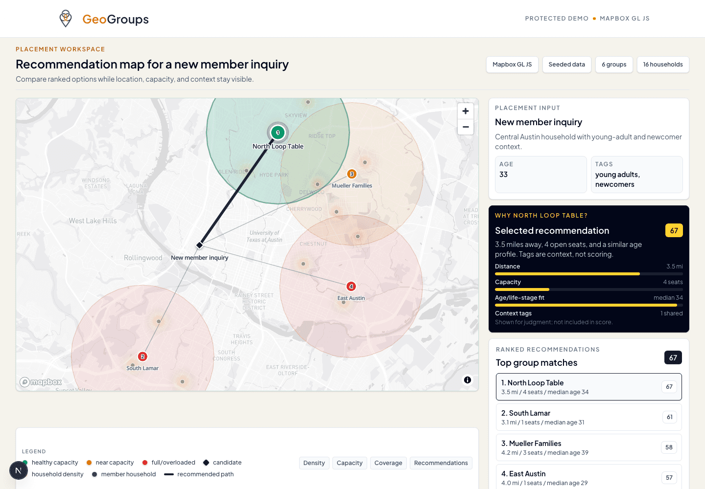
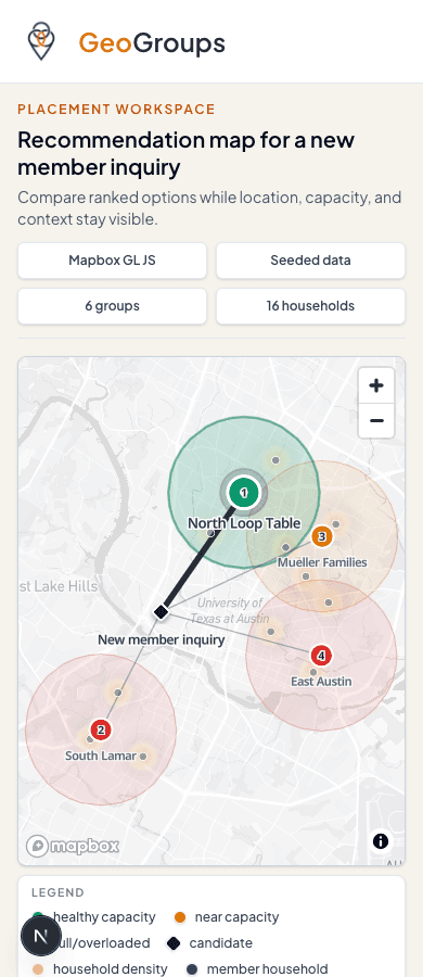
GeoGroups is currently a working geospatial prototype. Reach out if you want to discuss the project, map-based workflows, or related product work.
matthew@goodlifegames.io